


What is GIS?
How GIS Works: A brief explanation of Geographic Information Systems
A Geographic Information System (GIS) is a powerful tool that combines software, hardware, data, and skilled users to manage, analyze, and visualize geographic information. Here are the essential components of a GIS:
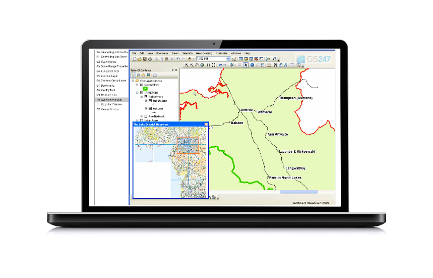
- Software Application: At its core, a GIS is computer software designed to handle spatial data. It allows users to perform tasks such as mapping, data manipulation, analysis, and reporting. Leading GIS applications include 2 produced by ESRI, named ArcGIS and ArcGIS Pro, and an OpenSource GIS named QGIS. You can find training on all three of these GIS applications here at GIS247.
- Hardware: To run the GIS software, you need appropriate hardware – typically a powerful PC or workstation. The hardware provides the processing power and memory necessary for GIS tasks.
- Data: GIS relies on various types of data, including maps, satellite imagery, aerial photographs, and attribute data (such as population statistics or land use). These data layers are integrated within the GIS to create meaningful visualizations and analyses.
- Skills and Expertise: Skilled professionals, often called GIS analysts or geospatial experts, play a crucial role. They understand how to use the software effectively, interpret data, and apply GIS techniques to solve real-world problems.
- Integration: The power of GIS lies in its ability to integrate different components. Without data, the software is useless; without skilled users, the software remains untapped. Therefore, the term "GI Science" encompasses all these interconnected elements working together.
In summary, a GIS is more than just software – it's a holistic system that leverages technology, data, and expertise to address diverse requirements across various fields, from urban planning to environmental management. Understanding both the software (GI System) and the broader context (GI Science) is essential for successful GIS implementation.
You can acquire deep foundational knowledge about GIS by using the Awareness level of our Skills Framework. Access to the Skills Framework is included in all GIS247 licences. Plus our GIS Course Catalog provides access to all our GIS training courses & GIS technical modules. When you purchase a licence to our training, you get access to ALL training material for your chosen GIS application.
Read on to learn about Spatial Data.